
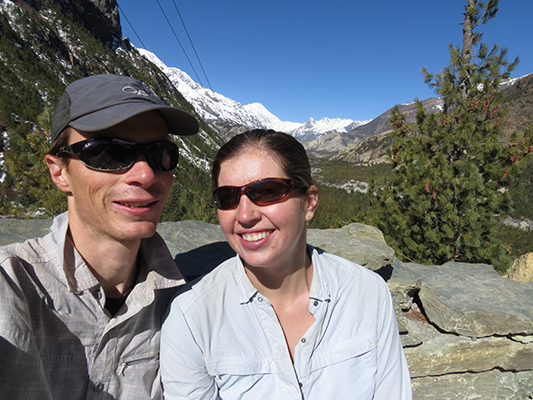
It took a lot of effort and convincing ourselves to go on this trek. Not because the scenery isn’t beautiful, but because we had become so comfortable with Pokhara. We knew if we didn’t go we’d be really upset with ourselves for missing the chance to hike the Annapurna Circuit Trek-I’ll call it AC from now on. So, after two strike days and one additional day to recover from a stomach bug, we headed out into the mountains again!
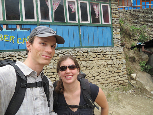
The AC trek starting point is in a city called Besi Sahar. The bus ride to Besi Sahar was a little more enjoyable than the bus ride to Sayafrubensi-the start of the Langtang Trek-because it was shorter, we had the front of the bus, and we were not scaling a mountain.
Back a couple of years ago all people walking the AC had to start in Besi Sahar, but in recent years, Nepal has started building a road connecting the villages along the original AC trail. With this and because of our delays in Pokhara we decided to take a jeep from Besi Sahar to Syange. Essentially, our 3 hour jeep ride to Syange took 1-2 days of walking off the trek. So our AC trek started in Syange.
Below is a recap of the days we spent trekking in the Annapurna mountains:
Day 1: Bus from Pokhara to Besi Sahar took about 4 hrs. Jeep from Besi Sahar to Syange took about 3 hours. We arrived still pretty early so we decided to walk a little up the path and stopped at Jagat. The walk took us only 45 minutes and we could have walked longer but it was raining so we decided to stop. We’re glad we skipped from Besi Sahar to Syange. All of the hikers we passed were constantly covering their faces from the dust the jeeps kicked up and the path isn’t that interesting that low in the mountain. We met our first group of trekkers this night. Some of them had already been on the trail for a day or two. But all the people we met this night we bumped into every so often for the rest of the trek.
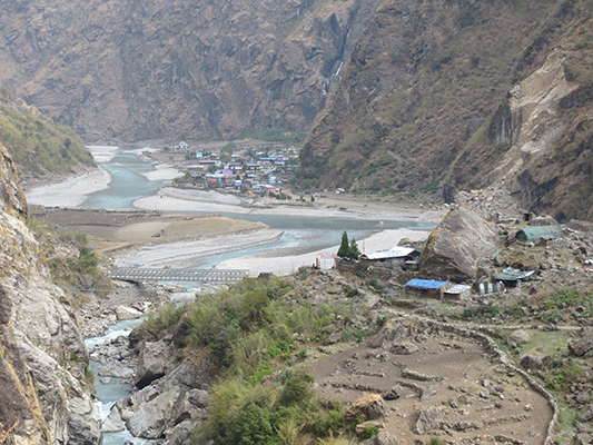
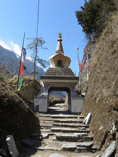
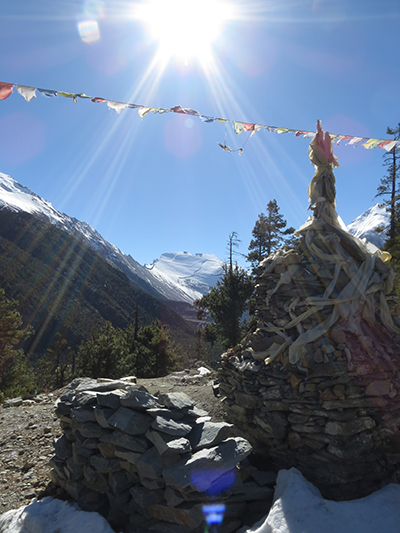
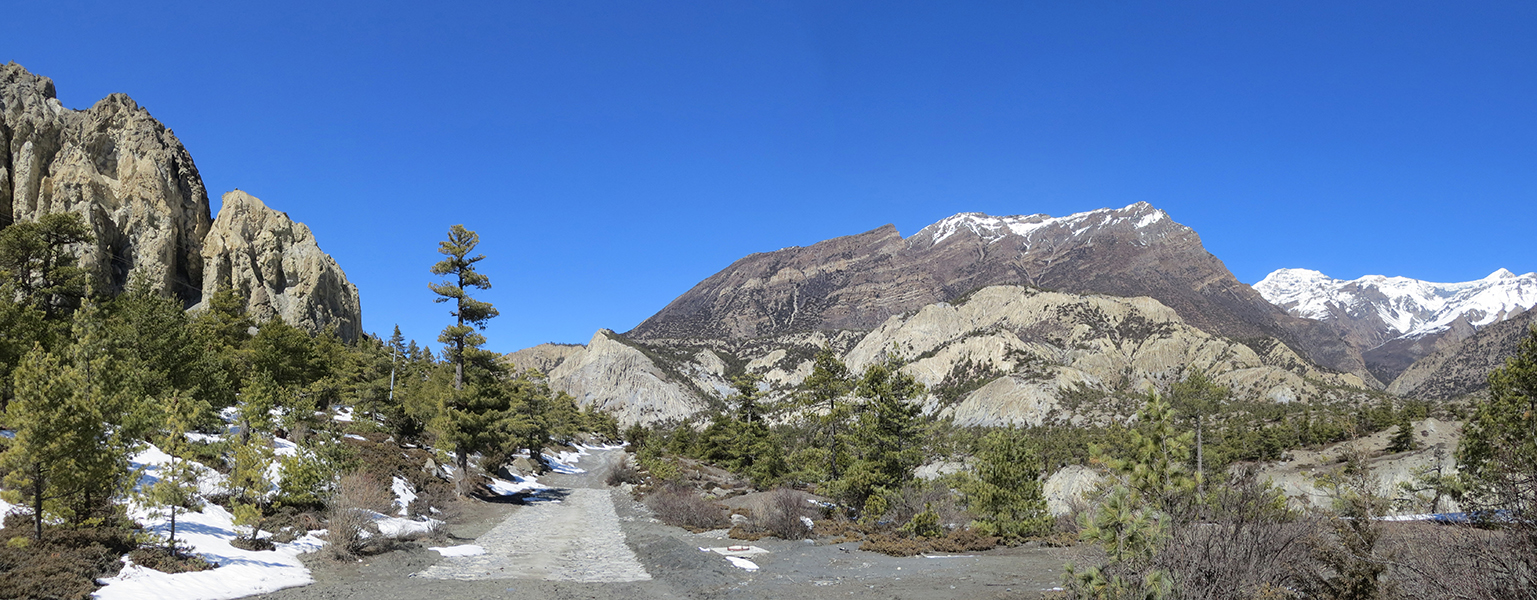
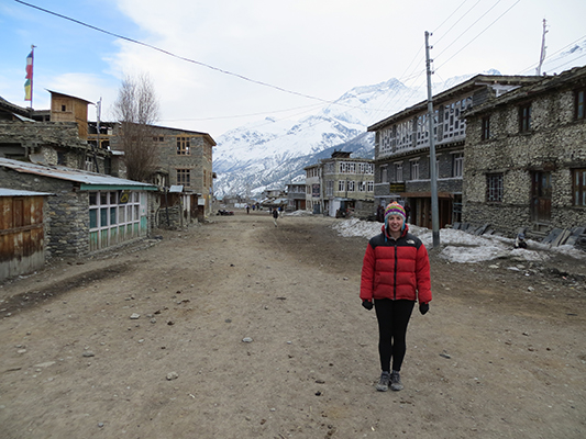
The start in Syange.
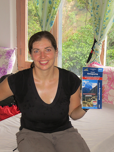
The hotel the first night and our map.
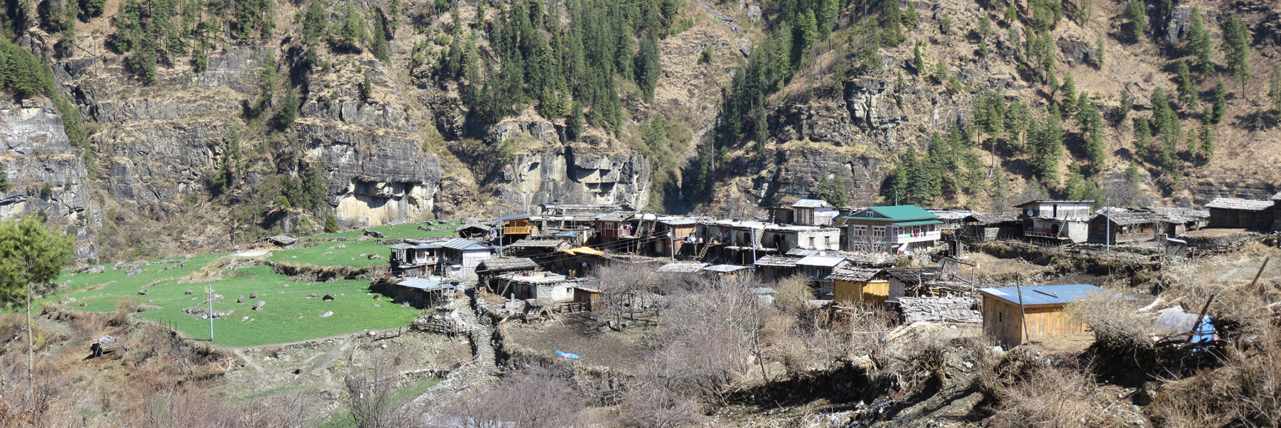
Day 2: Up early, of course because Dave is involved, and on the trail at 7:15 am. We stopped for lunch in the village called Karte and then continued to Bagachhap. We arrived in Bagarchhap at 2:30pm. We decided to call it quits here because it was raining again. Bagarchhap was not the prettiest village on the trek, but they had a bed and food and those were our only needs. If we were to do it again, we’d go to the next village of Danaque or Timang. There are more guesthouses in both. Timang has some pretty awesome views as well.

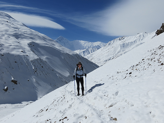
Starting the trek early so we have it all to ourselves.
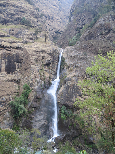
There are many waterfalls along this whole trek.
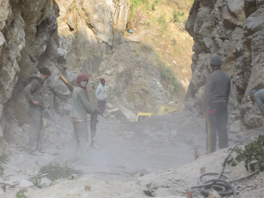
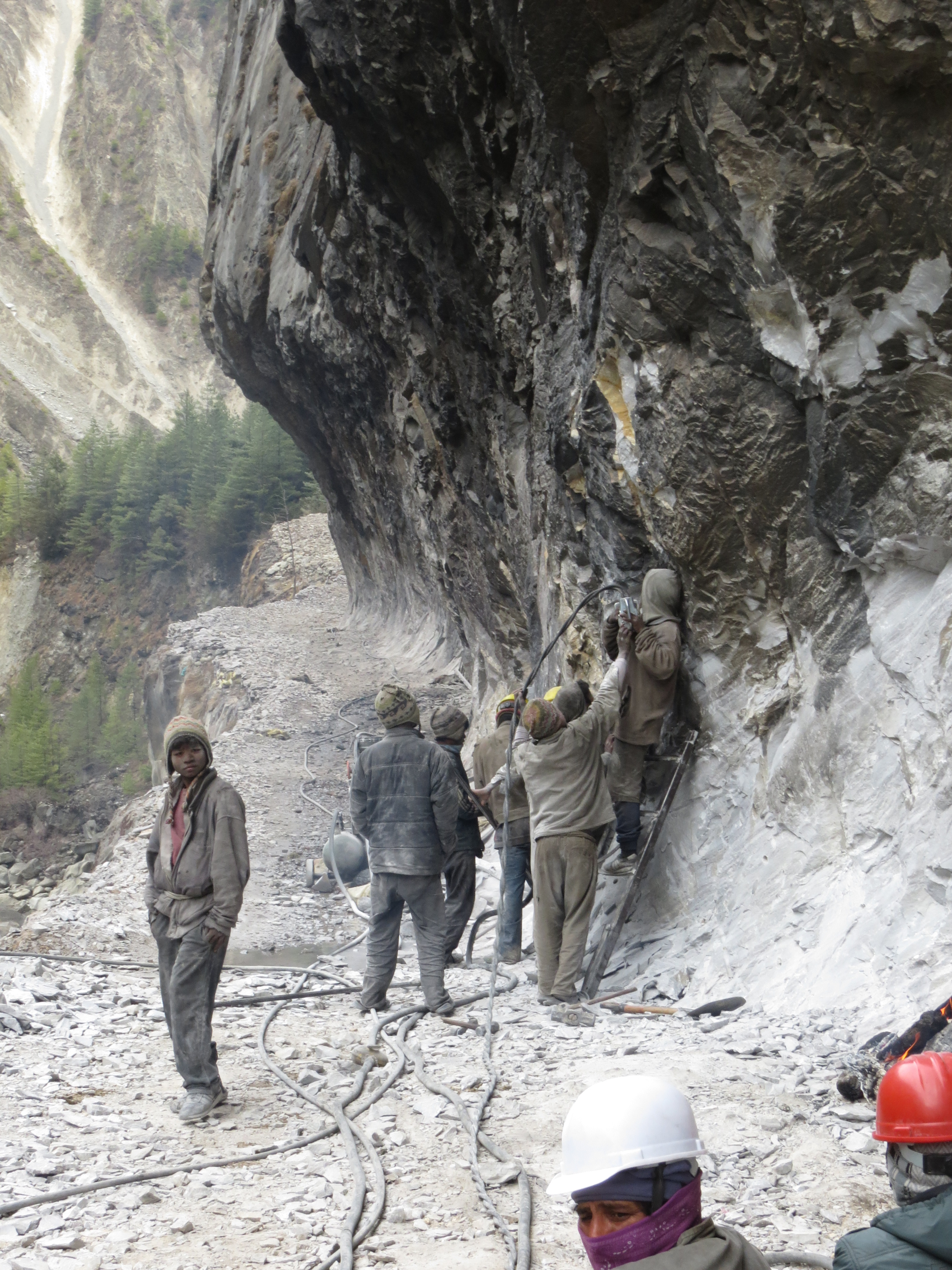
Road construction. Some of the places they were jack hammering where pretty scary.

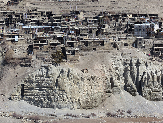
The city of Tal.


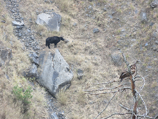
We don’t know how this cow got stuck on this rock, everywhere else around it was very steep.

Checking our progress.
View from our lunch spot
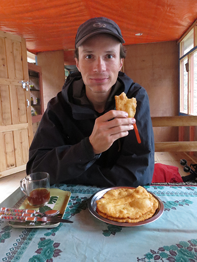
The Tibetan bread on the annapurna trek is different from the langtang trek. Here they make fried dough. Very yummy.

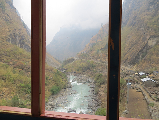
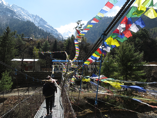
One of many bridges for crossing the rivers.
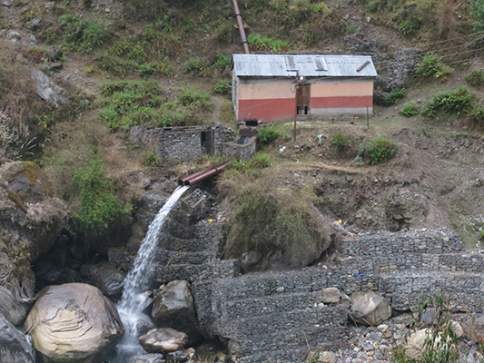
A lot of the villages have their power from hydro plants not far from the village.
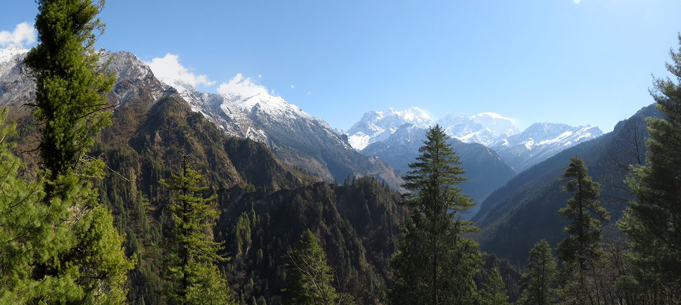
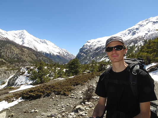
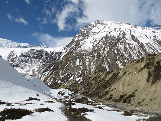
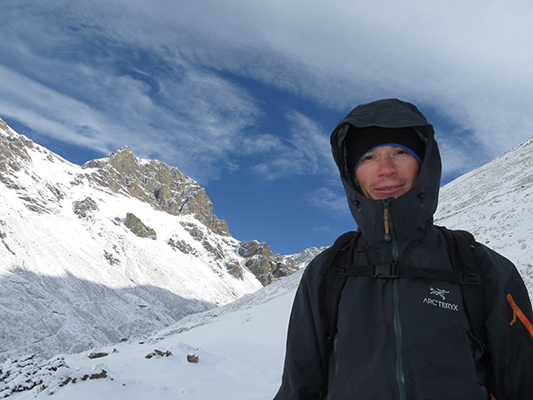
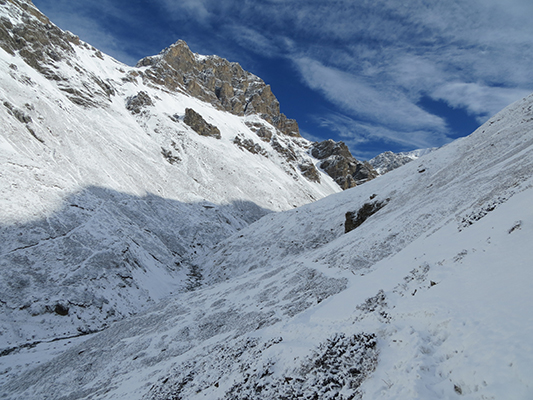
Day 3: We got a little surprise in the morning. The previous afternoon it was pouring, sleeting, and snowing for a majority of the afternoon and evening. We were thinking it might continue into the following day, but, we walked outside and had clear skies and our first high mountain views. We had another early start and were on the trail by 7 am. We both like starting pretty early for two reasons; 1. the trail is empty if you’re the first one on it. 2. it’s cooler in the mornings. We stopped for lunch in Chame, which is the last big village for many miles so we had a tough decision. Call it quits early, it was only 12, or have a long day and make it to the next large village. We were feeling good so we when for it. Almost 5 hours later we reached Dhikar Pokhari at 4:45pm. That was a long hall between Chame and Dhikar Pokhari. Overall we trekked 10 hours this day, with an hour break for lunch. I didn’t want to do that again. Also, Dhikar Pokhari was cold. We had gained a lot of elevation and now had some really cold nights.
Clear sky and no more rain.
Heading out

This water fall was huge and in two parts, this is the lower part
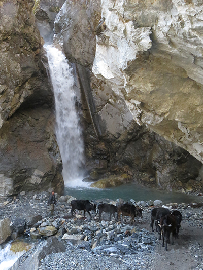
Upper part of the falls


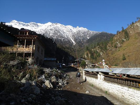
Timang village. if only we could have got here instead. beautiful.

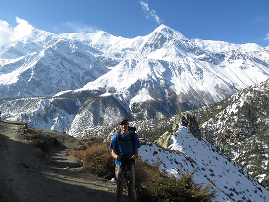
Little did we know how much better the views get.

This is a good shot of the road trekking.

Dave found a tomato on the road from one of the jeeps. Bonus.

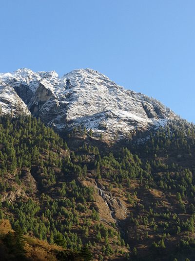
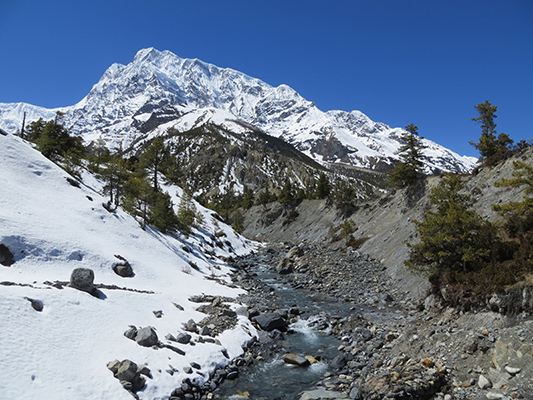
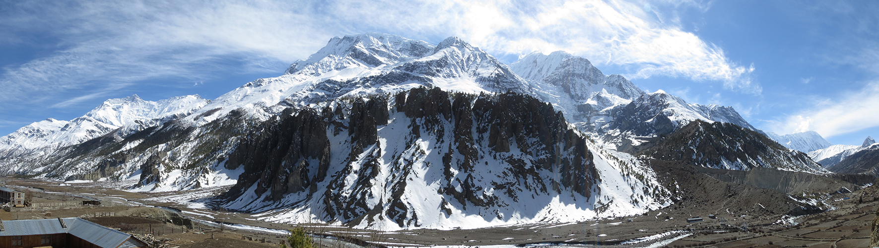
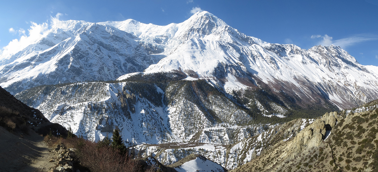
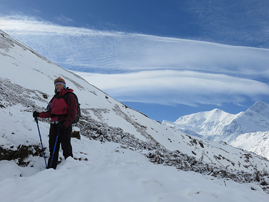
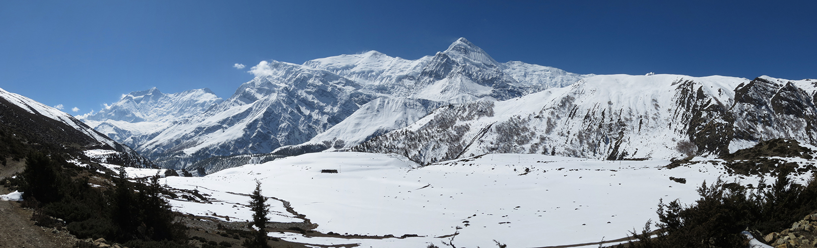
Snow capped peaks
One of the villages with some really green pastures and snow capped peaks.
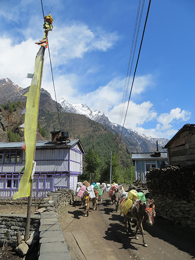
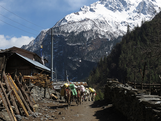
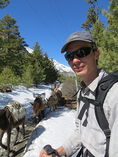
Even though the road is connecting a lot of the villages, there are still a lot of transport by mule.

Lunch of fried noodle and spring rolls.
Also still carrying things up by man power.


At some point there was an avalanche here. Glad it happened before we arrived.


More road construction.

Probably the creepiest place to work. That edge is a drop off and those are ladders leaning against the rock. No thank you.

Finally arriving at camp with some tired legs.
Day 4: Our previous long day essentially put us a whole day ahead of our fellow trekkers we’ve met along the way. Most of them stopped in Chame or one of the single tea house villages between Chame and Dhikar Pokhari. So, we headed out at 7:15 again, had lunch in Mugje, and arrived in Manang at 2:30 pm. Manang is one of the largest villages on the trek and the largest village before the ascent to the pass. They even have a movie theater in Manang. It’s not more than a projector and some old movies, but we hadn’t seen a movie in many, many months so we had a date night. We went and saw 7 Year in Tibet with popcorn and tea included! It was cool.
Soaking up the sun in the freezing morning
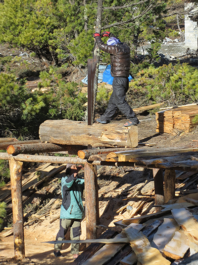
The saw mill. Yes, they cut it all by hand. It’s exhausting watching them.


Mountain dog, one of the cuter ones we saw.


Always stopping for the mules.


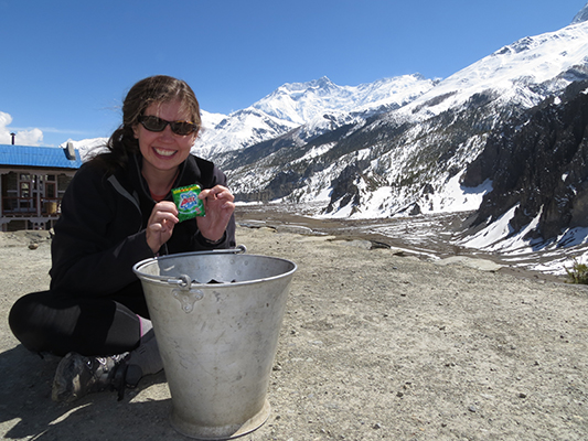
Seabuckthorn juice. This juice is from a fruit that grows only at higher elevation. It was yummy.

Our view for lunch.

Large streets of Manang.
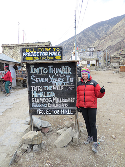
Date night.
Day 5: Most people have an additional day in Manang to both rest and help with acclimatization. Manang is at 3500 m (11,545 ft). We did that. We did some short day hikes to also help with acclimatizing. We even had enough time to clean some of our clothes. I think it was the best location I’ve ever done laundry. They also have a couple of bakeries in Manang that make some good pastries, cakes, and pies. We really enjoyed the apple crumble pie.
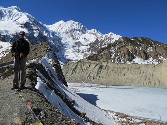
Day hike towards Gangapurna glacier and peak.
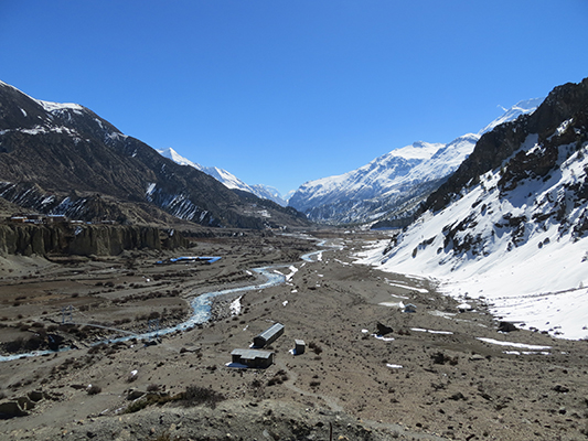
Manang from the day hike.

Coolest place i’ve ever washed my clothes

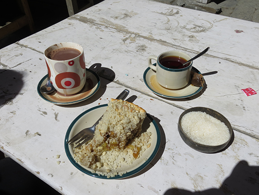
Much deserved apple crumble.

View from our room.
Day 6: We departed early again and were on the trail at 7 am. Since we were now so high up in the mountains we were moving pretty slow. We didn’t have a long day either. They recommend to go up slowly and stay over night to help your bodies adjust to the elevation. We only hiked for 4.5 hours and arrived in Ledar at 11:30 am. Ledar is at 4200 m (13780 ft). We had plenty of time to hang out, read, and enjoy the scenery. We even got to watch a snow storm. Normally, we love snow and would welcome it (I know all you New Englanders are thinking we’re crazy) but we were afraid the snow would stop us from being able to go over the pass. If there is too much snow you can’t see the trail and it becomes dangerous. We also shared the tea house with a big group of people from Israel. I think Israelis win for having the most people on the mountains. We didn’t know this before, but they all love trekking and we met and saw many on the trail. Anyway, the big group hovered around the wood stove and therefore we were freezing. We opted to sit under the blankets in our room to stay warm. It sure is chilly up at 4200 m.
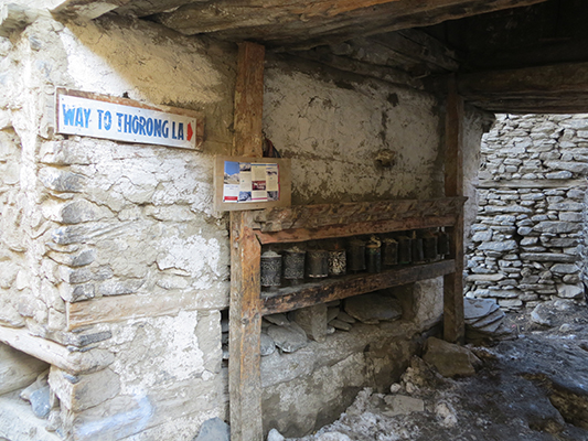
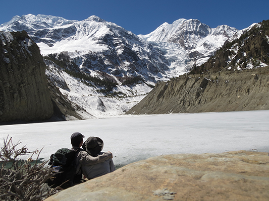
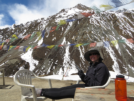
Tharong La is the name of the pass.

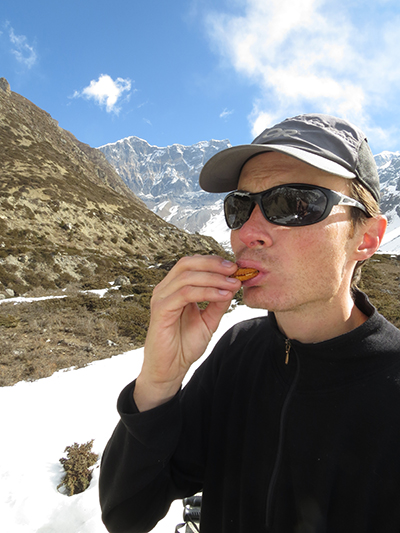
Snacking on peanut butter crackers.
Soaking up the sun and reading my book.
Sleepy, bored Dave. The short days are hard for him. Too much sitting around.

Blizzard.

The yak doesn’t mind.

Trying to stay warm while everyone else hogs the wood stove.
Day 7: We were on the trail at 7 am again. We were freezing and had to layer up. It was a very cold morning, but, so very beautiful with the snow covered mountains. Thankfully, there were only a couple of inches of snow on the ground and the trail was still visible. We took our time to the next village and enjoyed the scenery. I think this was our prettiest day. We even got to see blue sheep-not sure where the name comes from, they look like goats to me. Anyway, we arrived in Thurong Phedi at 9:30 am and I wasn’t feeling like myself. We had just passed a huge portion of the trail that warned you to watch out for landslides. The snow was melting and I was a little freaked out by the prospect of a huge boulder taking me out-a side note here, while we were in Manang we overheard a guide tell their group that a horse in this area was split into two from a boulder that had come down-so I briskly walked through the landslide area, which made me lightheaded. I was feeling a little lightheaded, had a minor headache and felt dizzy so we weren’t sure we should continue up to the high camp at 4900 m (16076 ft). We had met a couple in one of the villages on our way up, their way down, who had altitude problems to the point they were thinking of calling a helicopter, so we were ultra aware of the symptoms and what we should be looking for. Anyway, we decided that we should try to go up to high camp and see how I was feeling. If I was feeling bad we would head back down. It was only an hour away and it was only 10 am, plenty of time. Well, I had to stop every 5 minutes to stabilize myself. I was feeling very dizzy and didn’t want to fall down the mountain since it was quite steep. We decided to head back to Tharong Phedi and spend the night and see how I felt the next morning.

The snow from the previous night made everything so beautiful looking.

Blue sheep

Male blue sheep.

Perfect weather.

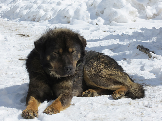
Mountain dog

This poor dog had dreads. I’m not sure how he could see either.

Day 8: I wasn’t feeling any better. I was actually feeling a little worse so we decided to go back down to Manang. We were undecided if we wanted to retry the pass in a couple of days or just head down the mountain. It only took us 5 hours to get down to Manang. We got to see another movie and eat more apple crumble. I think those two things were keeping us in better spirits. I was still not 100%, but on top of that I was feeling pretty disappointed in myself for not being able to head over the pass. We were higher in Peru and I had no problems! We were in Langtang a few weeks ago and I had no problems. No to mention Dave was disappointed as well because he was feeling good and could have gone over no problem. Anyway, we got over it, as it was the correct decision to be safe rather than risking altitude sickness and the views up to Tharong Phedi were amazing. We had decided to just head out. Both of us were a little sore, tired of being cold, and had our Himalaya fill from both treks. Besides, this gives us a reason to come back and try it again someday.

Mountain goat

The horses have a layer of fur on them to keep warm.
Day 9: Left Manang early and did the walk of shame down to Chame. It was funny chatting with other trekkers heading up. They all were concerned the pass wasn’t open and that is why we were headed down. And then once they found out I showed signed of altitude sickness they wanted to know how I knew. Everyone is concerned for the same things. Anyway, it was a very long haul back to Chame. It only took us 7.5 hours, but the distance was our longest yet and we were tired. The good news was we could take a jeep from here thanks to the new road.

Since we headed down, we got to take some better pictures of the road construction. Pretty crazy.


This is a picture of the typical nepali food, daal bhat. Which consists of a lentil curry, rice, and some sort of vegetable. You usually get two servings of everything as well, which is good for hungry trekkers.
Day 10: The jeeps they use to drive people back and forth from Besi Sahar are 9 passenger jeeps. They fit 12 people in these things, four people per each seating row including the front with the driver. We wanted the front because we thought we’d have better luck with space, but turns out they fit four there too. The driver had to shift between myself and the other women next to me. But, with all those people in the jeep you don’t move much when you hit bumps or take corners. The jeep ride took 6.5 hours and it wasn’t that comfortable, but it was either that or walk another two long days out. We arrived in Besi Sahar early enough to take a bus back to Pokhara. Whew, it was nice to be back in our spot. That’s the longest trek I’ve ever done and it sure was beautiful, but I was glad to be done.

Waiting for the jeep.
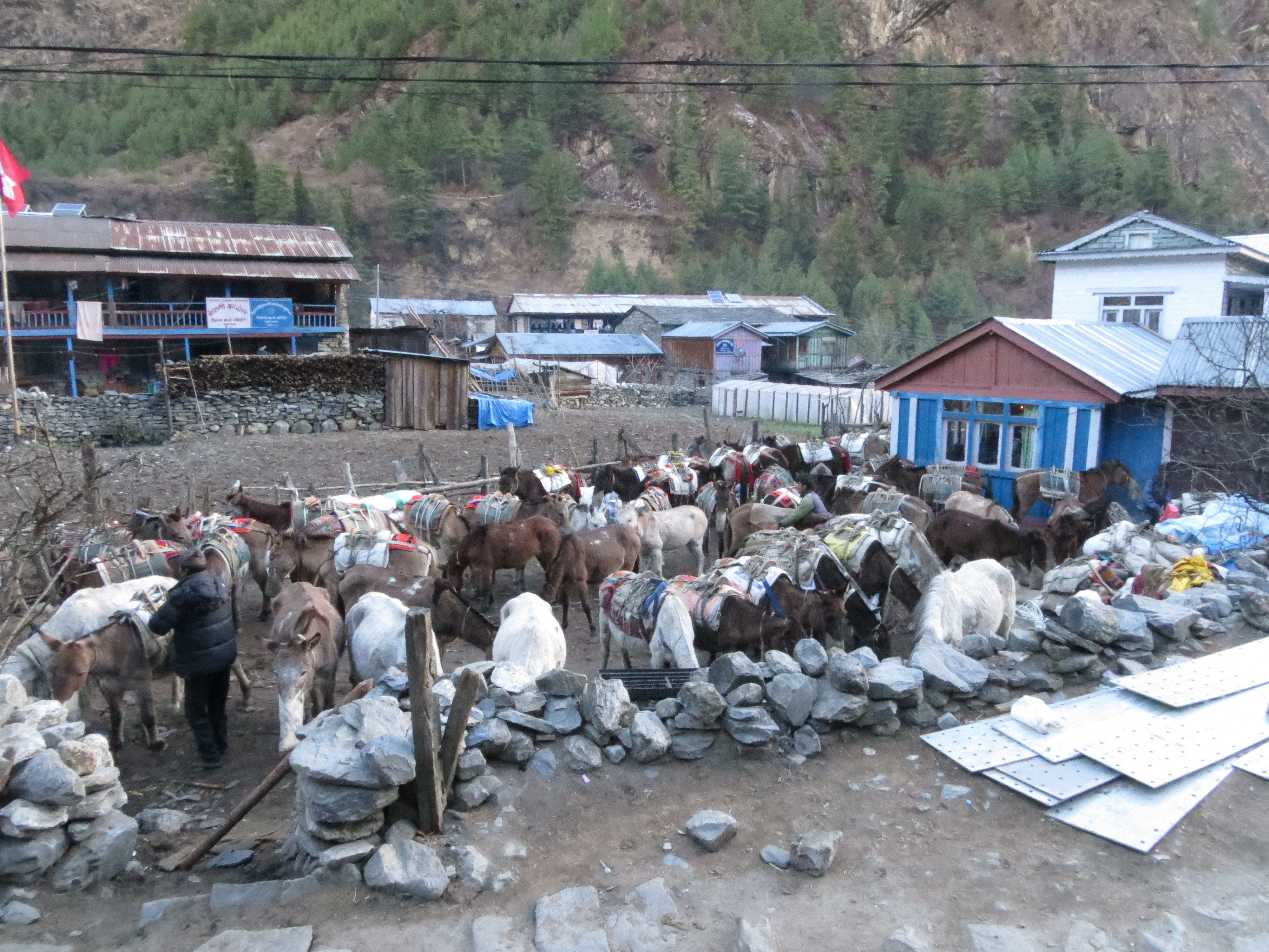
Mules waiting for their luggage.

Four across.

Waiting for our bus back to Pokhara!!
For those curious to what we brought if you’re planning on trekking in March-we were there from March 9-17th.
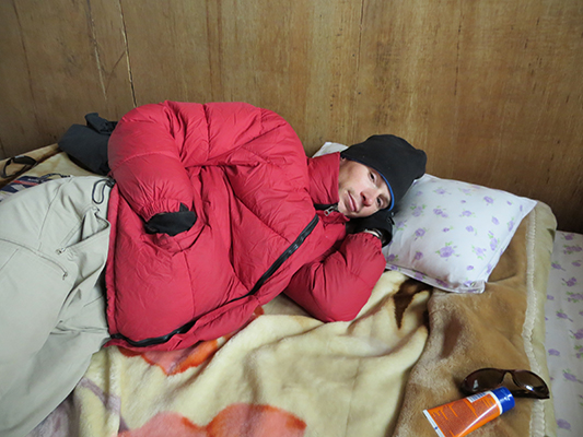
1 – sleeping bag – We opted for one sleeping bag, but ended up using blankets. All of the guests houses we stayed at gave us extra blankets if we asked. The sleeping bag was more for if something happened and we were stuck on the trail not near a tea house.
2 – down jackets – We had rented down jackets again, which were very useful. Once you go higher than Dhikur Pokhari it is very cold at night.
3 – rain gear – jackets and rain pants
4 – thermal underwear and wool sweaters
5 – One pair of quick dry pants, two t-shirts, one long sleeve shirt, three pairs of socks, and 2-3 pairs of underwear
6 – winter hats and gloves
We opted to go light as we had no porter or guide. Both of those are not necessary, but if you can afford it a porter would have been nice. Dave, who was my porter, didn’t really enjoy the heavy bag.
I think that’s all. We love you Himalayan mountains and we will meet again someday!

Until next time…

Wow!